
Road Trips
Latitude 66°33′ North: Everything About Crossing the Arctic Circle
7 min read
Latitude 66°33′ North: Everything About Crossing the Arctic Circle
How to get there
From the Yukon, the classic route is the Dempster Highway, which begins near Dawson City and is Canada’s only public road to cross the Arctic Circle. The signposted crossing lies roughly 400 kilometres up the Dempster, past Tombstone Territorial Park and the outpost of Eagle Plains. Many travellers make Eagle Plains their base and drive the final stretch to the sign from there.
The junction itself is easy to miss. The Dempster leaves the Klondike Highway some 40 kilometres east of Dawson City, at a lodge and fuel stop, and from that turning the pavement ends and does not resume. Everything after it is gravel, and the surface varies from smooth and fast to loose, sharp, and rutted depending on when it was last graded and how much rain has fallen.
Driving time is the number people get wrong. On paper, 400 kilometres of gravel sounds like five hours. In practice, allow eight to nine hours from Dawson to the Arctic Circle sign at a sensible speed, more if you stop for photographs, which you will. Most people break the trip with a night at Eagle Plains rather than attempting the return in a single day.
The Arctic Circle sign
The crossing is marked by an interpretive sign and pull-out — the spot for the milestone photo. Standing there, with tundra rolling away in every direction and often not another vehicle in sight, the sense of remoteness is profound. Some visitors continue much further north to Inuvik and even Tuktoyaktuk on the Arctic Ocean, but reaching the Circle itself is the classic goal.
It is worth knowing in advance that the sign is not much to look at. It is a panel, a gravel pull-out, and a view. Visitors who have built the moment up in their heads sometimes arrive slightly deflated, and then spend twenty minutes standing in the wind realising that the emptiness in every direction is the actual attraction. Take the photograph, then put the camera away and just look for a while.
What it takes
This is a serious wilderness drive on gravel. Carry at least one good spare tire (two is wiser), extra fuel, food, water, and warm clothing for any season. Services are limited to Dawson, Eagle Plains, and communities further north, and there’s no cell coverage for long stretches. Check road and ferry conditions, and tell someone your route and timing.
Tires are the specific risk. The Dempster is surfaced in places with sharp shale that punctures sidewalls, and flat tires are the single most common problem on the road. Carry a proper spare, know how to change it, and check your pressures before you leave. Drop your speed on loose or freshly graded sections, and move well over for oncoming trucks — a stone thrown at closing speed is what breaks windscreens.
Check with your rental company before you commit. Many vehicle rental agreements exclude gravel highways, and the Dempster is often named specifically, which means a puncture or a cracked windscreen becomes entirely your problem. Some Whitehorse and Dawson operators rent vehicles that are explicitly permitted on the road; that conversation is much better had before departure than after.
When to go
The Dempster is generally drivable from June through September; shoulder seasons risk snow, and rain can turn the road to slick clay. Summer’s long daylight — including the midnight sun this far north — makes for easy, flexible driving, while late August adds tundra colour.
Rain is the variable that matters most. Long sections of the road are built on a gravel pad over permafrost, and heavy rain turns the surface into something with the traction of wet soap. Locals will tell you to simply stop and wait it out, which is sound advice and hard to follow when you have a flight to catch. Building a spare day into the plan is the single most useful thing you can do.
The far end of the season has a particular appeal. From roughly mid-August the tundra turns red and gold, the mosquitoes finally give up, and by late August the nights are dark enough that aurora becomes possible again after a summer of permanent daylight. The trade-off is a real chance of early snow and shorter days at either end of the drive.
What the drive is actually like
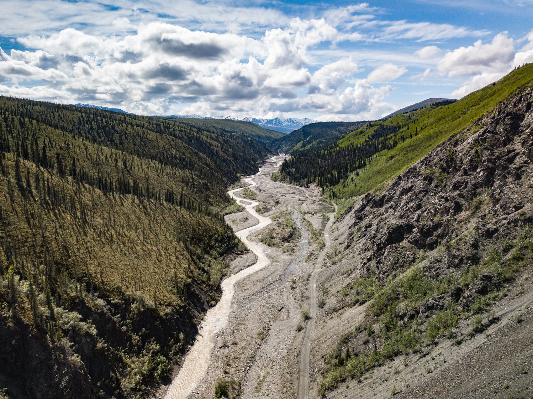
The first hour climbs gently through spruce toward Tombstone Territorial Park, and this is the scenic headline of the southern Dempster: black granite peaks, broad valleys, and an interpretive centre with trail information and staff who know the current conditions. Many visitors drive only this far and turn around, which is a perfectly respectable trip in itself.
Beyond Tombstone the road climbs onto the North Fork Pass and the trees begin to thin. Over the next few hours the country opens out into rolling tundra, the Blackstone Uplands, and long empty views where the road is visible for kilometres ahead. Traffic drops to a vehicle every twenty or thirty minutes. Caribou, moose, ptarmigan, and the occasional grizzly are all genuinely possible from the car.
The stretch approaching Eagle Plains crosses the Eagle Plain basin, a long, monotonous, oddly hypnotic run where the landscape stops changing and the driving becomes a matter of concentration rather than sightseeing. Then the road rises, the lodge appears on a ridge, and about 40 kilometres further on you reach the sign.
Fuel, food, and a bed
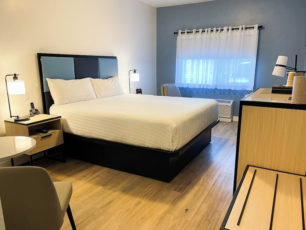
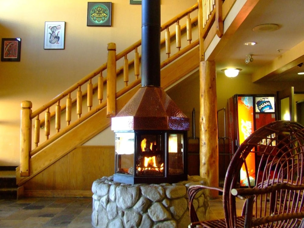
Eagle Plains is the only service point on this section of the road, and it is not a town — it is a lodge, a fuel pump, and a small motel on a ridge in the middle of nowhere. It has rooms, meals, and fuel, and it is the reason the drive is possible for ordinary vehicles at all. Book ahead in July and August, because the rooms are few and the alternative is a very long night.
Fill up whenever you can and never pass a working pump on a low tank. The gap between fuel at the start of the Dempster and fuel at Eagle Plains is the longest stretch without services on any public highway in the Yukon, and prices out here reflect the cost of getting fuel to a ridge 370 kilometres from anywhere. Carry a jerrycan if your vehicle has a small tank.
Common mistakes
Trying to do it in a day from Dawson and back is the big one. That is sixteen hours of gravel driving, and people attempt it every summer. It is possible, and it is a bad idea — fatigue on a loose surface with wildlife on the road is exactly the wrong combination. Give it two nights.
The rest are small and preventable. Driving too fast for the surface. Not checking whether the rental agreement covers the road. Assuming a phone will work for navigation or emergencies. Leaving no margin for weather. And forgetting that the Arctic Circle is only the halfway point of the Dempster — if your plan is Inuvik or Tuktoyaktuk, everything above needs to be doubled, and there are two river ferries to factor in as well.
Beyond the photo
The journey is the reward. The drive up delivers Tombstone’s peaks, sweeping tundra, caribou and bears, and a growing sense of being somewhere truly wild. The Arctic Circle sign is the punctuation mark on one of the great road trips left in North America.
Cross the line, take the photo, and stand a moment in the silence — you’ll have reached a place that, for most of human history, only a few ever saw.
Frequently asked questions
How do I cross the Arctic Circle in the Yukon?
Drive the Dempster Highway north from near Dawson City. The signed Arctic Circle crossing is about 400 km up, past Tombstone and Eagle Plains.
What do I need for the trip?
A sound vehicle, one or two spare tires, extra fuel, food, water, and warm clothing. Services and cell coverage are scarce, so plan carefully and share your route.
When can I make the drive?
Generally June through September. Shoulder seasons risk snow, and rain makes the gravel slick, so check road and ferry conditions before setting out.
How long does it take from Dawson City?
Allow eight to nine hours each way at a sensible speed on gravel, not the five hours the distance suggests. Most people stay a night at Eagle Plains rather than driving there and back in one day.
Can I drive a rental car on the Dempster?
Check first. Many rental agreements exclude gravel highways and name the Dempster specifically, leaving punctures and windscreen damage uncovered. Some Whitehorse and Dawson operators rent vehicles that are permitted on the road.
Where to stay
Rooms worth pairing with this guide.

Ready to plan this trip?
Real prices for the places this piece names.


