
History & Gold Rush
Forgotten Frontiers: 4 Yukon Ghost Towns Frozen in Time
7 min read
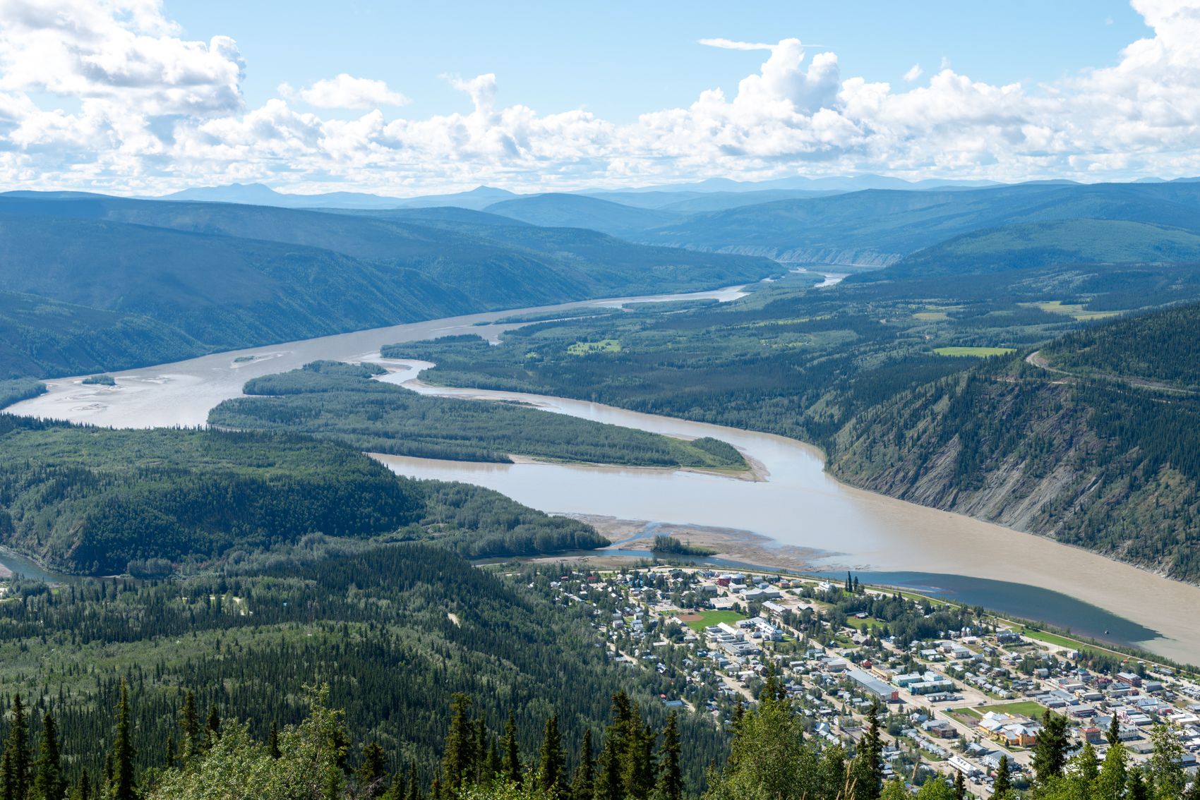
Forgotten Frontiers: 4 Yukon Ghost Towns Frozen in Time
Fortymile and the earliest strikes
Before the Klondike, prospectors worked the Fortymile River and built settlements that are now largely returned to the bush. These earliest gold-rush sites, near the Alaska border, tell the story of the miners who were already in the country when the big 1896 strike changed everything.
Forty Mile itself sat at the confluence of the Fortymile and Yukon rivers, downstream of where Dawson City would later appear, and for a few years it was the main non-Indigenous settlement in the region — a supply point with a store, a mission, and a police post. When word of the Bonanza Creek strike arrived, the town emptied almost overnight as everyone who could travel went upriver. It never recovered, and what stands there now is a small cluster of buildings and depressions in the ground, maintained as a historic site.
Getting there is the catch. Forty Mile is a river site rather than a road site, which means a boat trip from Dawson City and a plan for getting back. That is a genuine expedition rather than an afternoon, and most visitors who see it do so with someone who runs the river regularly. If that is beyond your trip, the interpretive material in Dawson covers the same history and costs you nothing but time.
Silver City and Kluane
On the shores of Kluane Lake, the weathered log buildings of Silver City recall a brief boom tied to mining and the old Kluane wagon road. Easily seen from the highway, its collapsing cabins make an evocative, accessible stop.
Silver City is the easiest ghost site in the territory to reach, which is why it turns up on so many Alaska Highway itineraries. It sits near the south end of Kluane Lake, and the drive to it takes you along one of the more dramatic stretches of road in the Yukon, with the lake on one side and the Kluane Ranges rising on the other. Allow half an hour at the site itself and considerably longer for stopping at the viewpoints on either side of it.
What is left is a handful of log structures in varying states of collapse, roofs sagging or gone, walls leaning into the grass. The buildings are unstable and are best appreciated from outside. The setting does most of the work: an abandoned settlement against a very large lake and a very large mountain range makes the scale of what people were attempting up here immediately obvious.
Dredges and the industrial ruins
Around Dawson City, the goldfields are studded with the bones of the industrial era that followed the initial rush — most spectacularly Dredge No. 4, a preserved wooden dredge the size of a building, plus tailings and abandoned equipment along the creeks. These aren’t towns exactly, but they’re haunting monuments to the scale of the gold hunt.
The tailings are the part that stays with people. Drive Bonanza Creek Road and the valley floor on either side is corrugated into long grey ridges of turned-over gravel, mile after mile of it, the physical output of decades of dredging. From the ground it reads as odd landscaping; from the Midnight Dome above town it reads as what it is, an entire river valley processed by machine.
Scattered among the tailings are the smaller ruins: collapsed cabins, boilers, rusted pipe, the occasional length of narrow-gauge rail. Some of it is on private claims that are still being worked, which is worth remembering before you wander off the road. Active claims are common in this country, and the people working them take a dim view of visitors on their ground.
Keno, Elsa and the silver country
The fourth kind of ghost town is not gold at all. North-east of the Klondike Highway, the Silver Trail runs through Mayo toward Keno City and Elsa, the centre of a silver-mining district that ran long after the Klondike rush had finished. Elsa is an abandoned company town; Keno City is a handful of buildings and a very small year-round population, with a mining museum and a signpost on Keno Hill pointing at cities around the world.
The drive up is quiet and largely paved as far as Mayo, with gravel beyond, and it takes you into a part of the territory most visitors skip entirely. That is the appeal. There is very little traffic, the mountains at the end of the road are low and open, and the sense of having arrived somewhere that stopped rather than somewhere that was preserved is much stronger here than at the managed historic sites.
Venturing further
More remote sites — old roadhouses, telegraph stations, and riverboat woodcamps — lie scattered along the rivers and historic trails, some reachable only by boat, foot, or serious backroad driving. Local museums and historic-site staff can point you toward what’s safely accessible.
The pattern to understand is that almost every abandoned place here was abandoned for a reason that still applies. The roadhouse closed because the route changed. The woodcamp closed because the sternwheelers stopped burning wood. The mine closed because the ore ran out or the price fell. Knowing why a place emptied makes walking through it considerably more interesting than simply noting that it is empty.
When to go and what it takes
The practical season for the road-accessible sites is roughly late May to mid-September. Outside that, the light is short, the gravel roads are unreliable, and several sites are effectively closed by snow. Late August into early September is arguably the best window: the colours turn, the bugs stop, and there is far less traffic on the highways than in July.
For anything beyond a highway pull-out, plan properly. Carry a full tank and a spare, because fuel stops in this part of the world are far apart and not all of them keep long hours. Take food, water, warm layers, and a paper map, since cell coverage disappears within minutes of leaving the main highways. Tell someone where you are going. None of this is dramatic advice; it is simply what driving in the Yukon requires.
Common mistakes
The first is expecting a town. Most Yukon ghost sites are three or four buildings, some depressions, and a lot of willow. Visitors arriving with a mental image of a preserved western street tend to be disappointed, and then, once they adjust their expectations, quietly captivated. The scale is small and the atmosphere is not.
The second is treating the sites as photo stops in a schedule that is already too tight. Distances between them are enormous — Kluane Lake and the Silver Trail are the better part of a day apart, and Dawson is further still. Pick one region per trip. The third is going inside the buildings, which is both the most tempting mistake and the one most likely to end badly.
Explore with respect
Ghost sites are fragile and often protected. Look, photograph, and imagine — but never take artifacts, enter unstable structures, or disturb the remains, and be aware that many sites sit on First Nations traditional territory. Watch for hazards like open shafts and rotting timber, and carry bear precautions in the backcountry.
Wandering a Yukon ghost town, with the wind moving through empty cabins and the creeks still carrying flecks of gold, is one of the most atmospheric ways to feel the boom-and-bust drama that shaped the territory.
Frequently asked questions
Can I visit Yukon ghost towns easily?
Some, like Silver City on Kluane Lake and the dredges near Dawson City, are easy roadside or short-drive stops. Others are remote, reachable only by boat, foot, or rough roads.
Can I take artifacts as souvenirs?
No. Historic sites are fragile and often protected, frequently on First Nations territory. Look and photograph, but never remove artifacts or enter unstable buildings.
Are the sites safe?
Use caution — watch for open mine shafts, rotting timber, and unstable structures, and carry bear precautions in backcountry areas.
When is the best time of year to visit?
Roughly late May to mid-September, when the gravel roads are open and the days are long. Late August and early September add autumn colour and far fewer vehicles on the highways.
Can I see several ghost towns in one trip?
Only within one region. Kluane Lake, the Silver Trail beyond Mayo, and the Dawson goldfields are each many hours apart, so most visitors choose one area rather than trying to link them all.
Where to stay
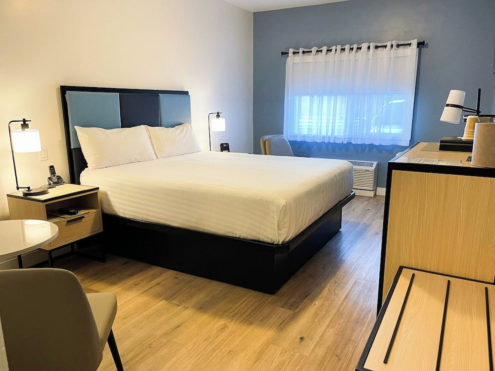
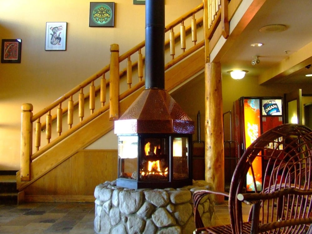
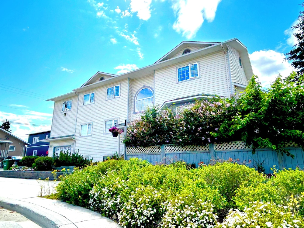
Rooms worth pairing with this guide.

Ready to plan this trip?
Real prices for the places this piece names.


